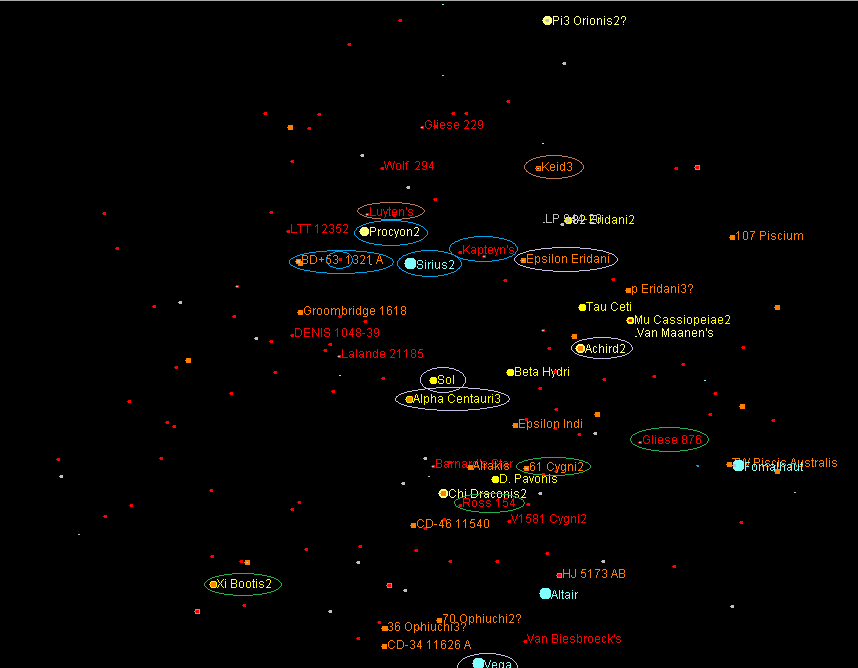
Has there been maps that tried to show the political bounderies/known locations of the various space powers of these era's?
A long time ago I used a website called Solstation. Showed maps and even had a downloadable program to chart and plot stars.
Sadly went the way of Java and I have not found a program remotely like it.

In this case:
Maroon is United Earth.
Blue is Andorian Empire.
Brown is the Vulcan Confederacy.
Green is Tellarite.
A long time ago I used a website called Solstation. Showed maps and even had a downloadable program to chart and plot stars.
Sadly went the way of Java and I have not found a program remotely like it.

In this case:
Maroon is United Earth.
Blue is Andorian Empire.
Brown is the Vulcan Confederacy.
Green is Tellarite.
Last edited:

 .
.